
WIKIARCHIVES.SPACE
The Human Spaceflight Archive


Information
- Taken in
- Space
- Author
- NASA
- Description
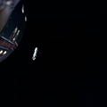
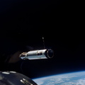
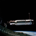
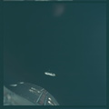
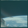
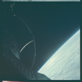
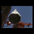
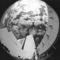
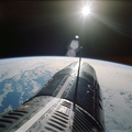
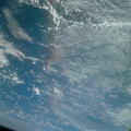
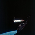
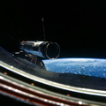
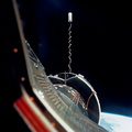
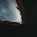
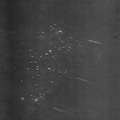
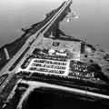
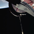
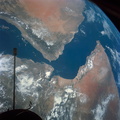
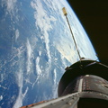
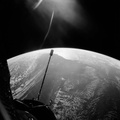
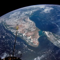
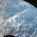
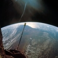
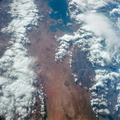
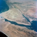
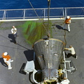
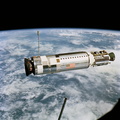
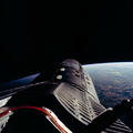
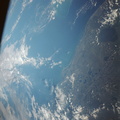
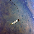
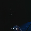
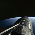
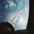
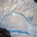
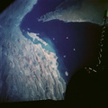
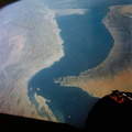
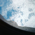
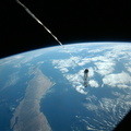
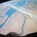
- Western half of Australia, including the coastline from Perth to Port Darwin, looking west, as seen from the Gemini-11 spacecraft at a record-high apogee of 740 nautical miles during its 26th revolution of Earth.
- Created on
- Wednesday 14 September 1966
- Albums
- US SPACE PROGRAM / GEMINI / GEMINI XI / Mission Photos (Edited)
- Source link
- https://www.flickr.com/photos/nasa2explore/albums/72157634958743610
- Visits
- 115
- Rating score
- no rate
- Rate this photo
- License
- CC BY-NC
- Modified by WikiArchives
- No (original)
- Downloads
- 1
Powered by Piwigo