 color film.")
WIKIARCHIVES.SPACE
The Human Spaceflight Archive


Information
- Taken in
- Space
- Author
- NASA
- Description
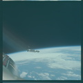
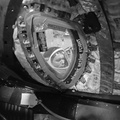
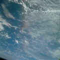
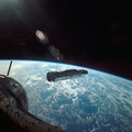
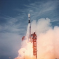
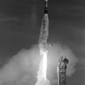
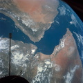
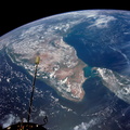
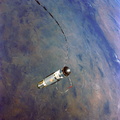
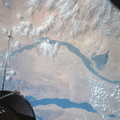
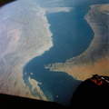
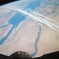
- The Mississippi River delta, and Gulf coasts of Louisiana, Mississippi, Alabama and Florida as seen from the Gemini-9 spacecraft during its first revolution of Earth. The Florida peninsula is seen at upper right corner of the picture. Lake Pontchartrain is a lower left. New Orleans is located between the lake and the U-shaped bend in the river. Large bay at top left center is Mobile Bay. The next bay to the east is Pensacola Bay. Cape San Blas near Apalachicola, Florida, is the point of land at top center of the picture. Note alluvial deposit at the mouths of the Mississippi. The image was taken with a modified 70mm Hasselblad camera, using Eastman Kodak, Ektachrome MS (S.O. 217) color film.
- Created on
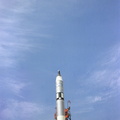
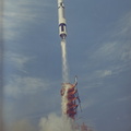
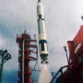
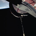
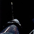
- Friday 3 June 1966
- Albums
- US SPACE PROGRAM / GEMINI / GEMINI IX / Mission Photos (Edited)
- Source link
- https://www.flickr.com/photos/nasa2explore/albums/72157634789297169
- Visits
- 94
- Rating score
- no rate
- Rate this photo
- License
- CC BY-NC
- Modified by WikiArchives
- No (original)
- Downloads
- 1
Powered by Piwigo