
WIKIARCHIVES.SPACE
The Human Spaceflight Archive


Information
- Taken in
- Johnson Space Center
- Author
- NASA
- Description
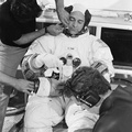
- A vertical view of the Apollo 17 landing site in the Taurus-Littrow area of the lunar nearside, with an overlay showing the Lunar Roving Vehicle traverse proposed for the second extravehicular activity. The scale at the bottom is measured in kilometers. One kilometer equals 0.6214 statute miles. The coordinates of the Apollo 17 touchdown point are 30 degrees 44 minutes 58 seconds east longitude and 20 degrees 9 minutes 50 seconds north latitude. This photograph was taken from lunar orbit on an earlier Apollo mission.
- Created on
- Albums
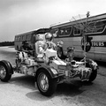
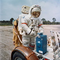
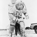
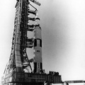
- US SPACE PROGRAM / APOLLO / APOLLO 17 / Training and Pre-Flight
- Source link
- https://www.flickr.com/photos/nasa2explore/9361437588/in/album-72157634777421773/
- Visits
- 90
- Rating score
- no rate
- Rate this photo
- License
- Public Domain
- Modified by WikiArchives
- No (original)
- Downloads
- 0
Powered by Piwigo