.")
WIKIARCHIVES.SPACE
The Human Spaceflight Archive


Information
- Taken in
- Space
- เจ้าของ
- NASA
- บรรยายรายละเอียด
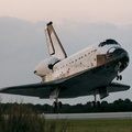
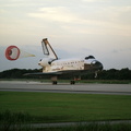
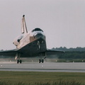
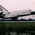
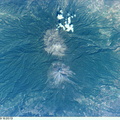
- Central Chesapeake Bay. The lower Potomac River and Patuxent River join the Bay, whose eastern side is muddy from sediment eroded from the shoreline. The image is centered on the Patuxent River Naval Air Station. The frame was exposed with the Electronic Still Camera (ESC).
- สร้างเมื่อ
- วันจันทร์ 30 ตุลาคม 1995
- อัลบั้ม
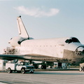
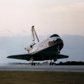
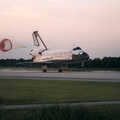
- US SPACE PROGRAM / SPACE SHUTTLE / MISSIONS / STS-73 / Mission Photos (Edited)
- Source link
- https://www.flickr.com/photos/nasa2explore/9360057066/in/album-72157634781092624/
- เข้าชม
- 69
- คะแนนนิยม
- ไม่มี คะแนนนิยม
- คะแนนนิยมรูปภาพนี้
- License
- CC BY-NC
- Modified by WikiArchives
- No (original)
- ดาวน์โหลด
- 1
ข้อมูล EXIF
KODAK DCS460A FILE VERSION 3 050995 GPS-NASA
- Make
- KODAK
- Model
- DCS460A FILE VERSION 3 050995 GPS-NASA
พัฒนาโดย Piwigo