 and areas for gathering of core samples.")
WIKIARCHIVES.SPACE
The Human Spaceflight Archive


Information
- Taken in
- Johnson Space Center
- Author
- NASA
- Description
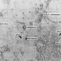
- This lunar map shows the traverse plans for the Apollo 14 lunar landing mission. Areas marked include Lunar module landing site, areas for the Apollo Lunar Surface Experiment Package (ALSEP) and areas for gathering of core samples.
- Created on
- Tuesday 1 September 1970
- Albums
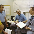
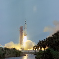
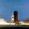
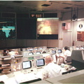
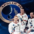
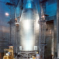
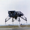
- US SPACE PROGRAM / APOLLO / APOLLO 14 / Training and Pre-Flight
- Source link
- https://www.flickr.com/photos/nasa2explore/9610131266/in/album-72157634771066936/
- Visits
- 132
- Rating score
- no rate
- Rate this photo
- License
- Public Domain
- Modified by WikiArchives
- No (original)
- Downloads
- 1
Powered by Piwigo